
Map of Africa
View Location
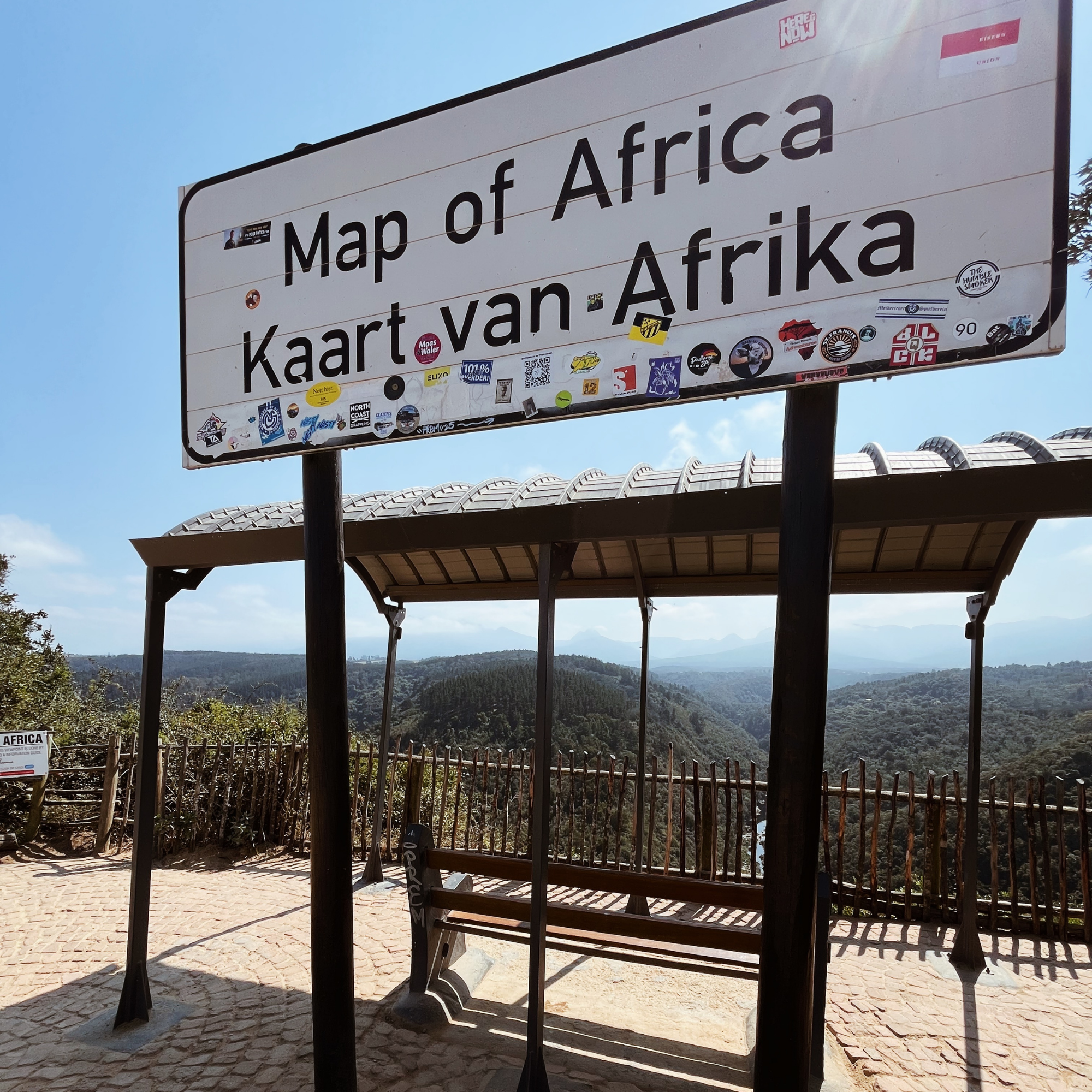
Just 15 km from George along the N2, a turnoff onto Hoogte Road leads to Wilderness Heights. From here, a short drive along a well-maintained gravel road takes you to the Map of Africa Viewpoint, where the Kaaimans River winds through the valley in a shape that uncannily mirrors the outline of the African continent — a natural masterpiece.
On the other side of the viewpoint, a grassy launch site offers sweeping views of Wilderness below, with long beaches, a shimmering lagoon, and the distant ocean. Paragliders take off from this side, adding a touch of adventure to the peaceful panorama, even if you’re just stopping to take in the scenery.
Together, both sides of the viewpoint showcase the incredible variety of scenery along the Garden Route — from rivers and mountains to beaches and ocean vistas — all in one stop.


discover your new favourite spot
everything worth finding
discover your new favourite spot
everything worth finding